Resources
News and Resources
Explore the latest news, resources, and publications from Conservation Metrics.
-
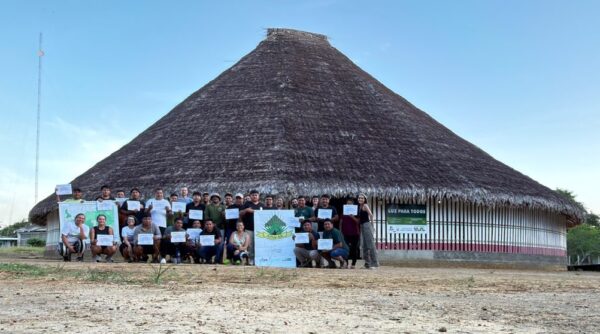
“Who else has data from our territory?” Working with the Wayana on biodiversity data
Sometimes a very specific question from a partner opens up a much bigger area of work.
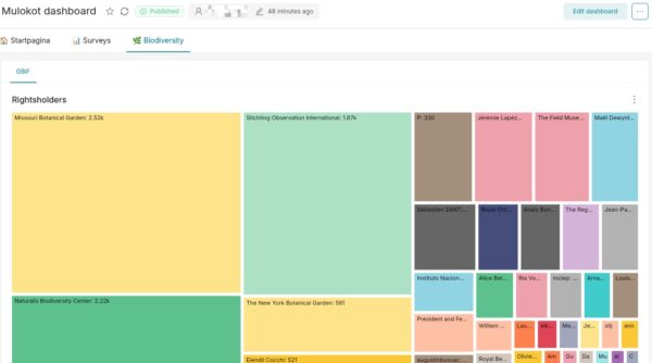
That happened this week with the Mulokot Foundation in Suriname. What started as a conversation about iNaturalist turned into a broader exploration of biodiversity data from the Wayana Territory: where it goes, who holds it, who has collected it, and how communities can have greater visibility and control over it.
It also became a good example of how we work at Conservation Metrics: a combination of advisory support, hands-on technical accompaniment, and tool building, all emerging from concrete partner needs.
-
AI and Data Sovereignty: Emerging Technologies and Indigenous Governance
AI arrives as land, water and power.
Data centres are being built on and next to Indigenous lands. One AI data centre can draw 100 megawatts of electricity, as much as 100,000 homes use at the same time, and around 2 million litres of water a day for cooling. Worldwide, data centres are expected to use more than twice as much electricity in 2030 as they did in 2024.
They also need minerals. Of the world’s energy transition mineral projects, 54 percent are on or near the lands of Indigenous Peoples. AI is now being used to find new deposits as well.
On 10 September, six speakers took this apart from six different places.
-
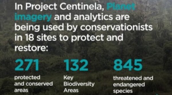
Protecting Endangered Biodiversity with Project Centinela
On the islands of Malaita, Central, and Guadacanal, Indigenous Solomon Islanders have stewarded their lands and waters for thousands of years, holding their “Sky Aelans” sacred. Today, they are threatened by outsiders, who illegally cut and sell old-growth trees, cut away the protective mangroves, pump out gold from rivers, and build secret roads into the forests teeming with life. A collaboration among local and global groups has sprung up to blend traditional knowledge with cutting-edge tools and technologies to ensure the effective protection of these remarkable islands.
-
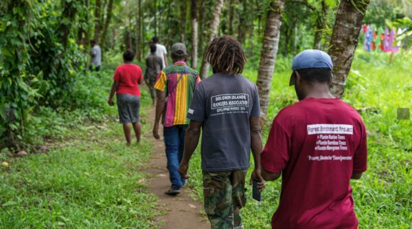
Sky Aelans: A Community-Led Model of Guardianship for the Future
Climb above 400 meters in the Solomon Islands and the air changes. Clouds drift closer. Trees grow dense with moss, and the ridges carry an unmistakable weight of history. These are the Sky Aelans—sacred highlands that hold ancestral shrines, origin stories, and the cultural identity of the people who live nearby. Protecting them means safeguarding both biodiversity and culture.
-
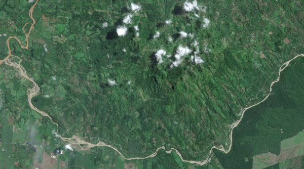
Announcing the Next Wave of Project Centinela Biodiversity Sites
In late 2024, Planet launched a new impact program called Project Centinela to help leading scientists, conservationists, and stewards monitor and safeguard 50 of the world’s vulnerable biodiversity sites. Project Centinela provides a three-year “biodiversity subscription” of Planet imagery and analytics for those on the frontlines of conservation around the world. We consider the program a core element of Planet’s contributions to the Kunming-Montreal Global Biodiversity Framework, and an initiative that helps us fulfill our Public Benefit Corporation purpose. We inaugurated the program with an initial set of ten sites in 2024, and now we’re proud to welcome another five sites into the program.
-
Windmill for Supporting Indigenous Communities – Conservation Metrics Case Study
Conservation Metrics works with indigenous communities worldwide to provide tools and systems for environmental monitoring and protection. As part of our Guardian Connector toolkit, our team needed a workflow orchestrator that could handle data processing from various sources, particularly for centralizing data from many different field data collection applications used by communities, and monitoring illegal activities in protected territories.
Having migrated from Dagster, we found that Windmill offered the accessibility and ease of use we needed for our small teams and non-technical users. Its intuitive interface and flexibility allowed us to focus on our core mission, rather than spending time on framework configuration or building additional user interfaces.