Project Goal
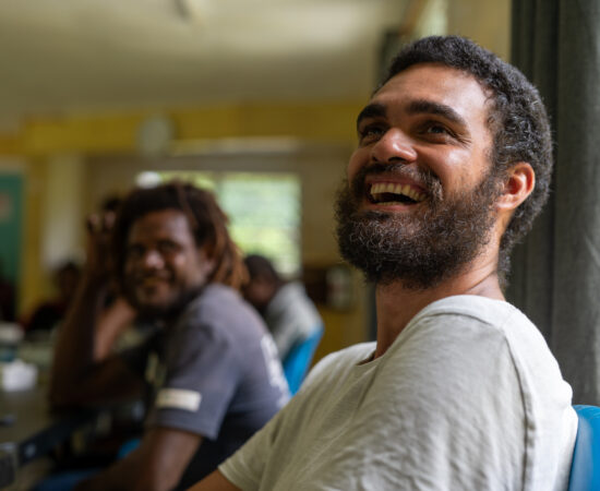
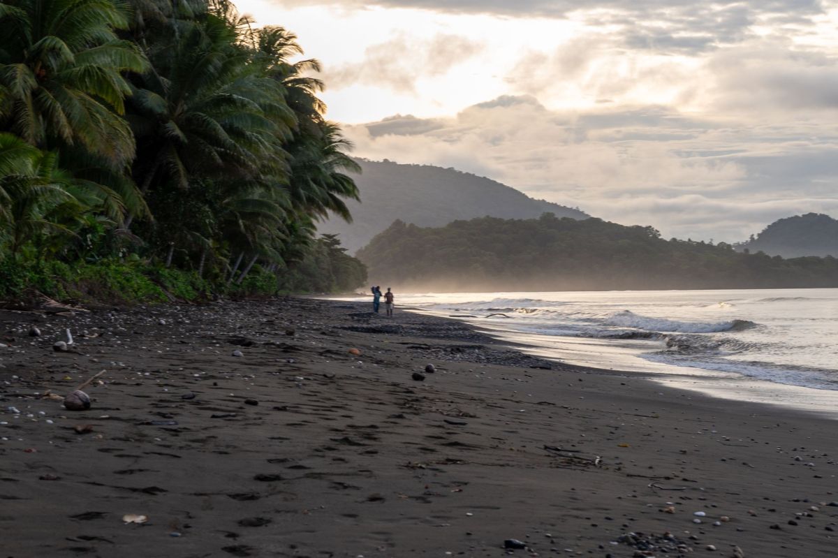
Mai Maasina Greenbelt and Islands Knowledge Institute are working with the Indigenous communities and Malaita and elsewhere in the Solomon Islands to conduct continuous mapping and monitoring of community areas and the Sky Aelans located above 400m altitude where extractive activities were declared illegal.
Conservation Metrics
Conservation Metrics is working closely with the partners to co-create a digital platform called GuardianConnector, a free and open-source data sovereignty platform for communities to securely access, explore, and derive insights from their data, which will be stored on premises they fully own. Conservation Metrics is also providing support with survey design, capacity building in mapping and monitoring methodologies and usage of tools, generation of near-real time change detection alerts, and data visualization on GuardianConnector.
Project Stats
1 Countries
5 Partners
5 Ethnicities
430,700 Hectares monitored